Tuesday, July 13, 2010


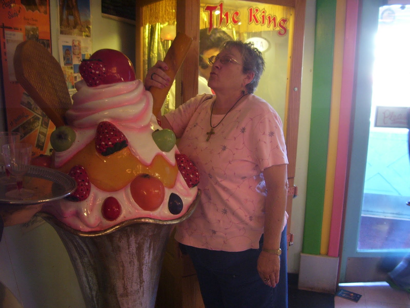
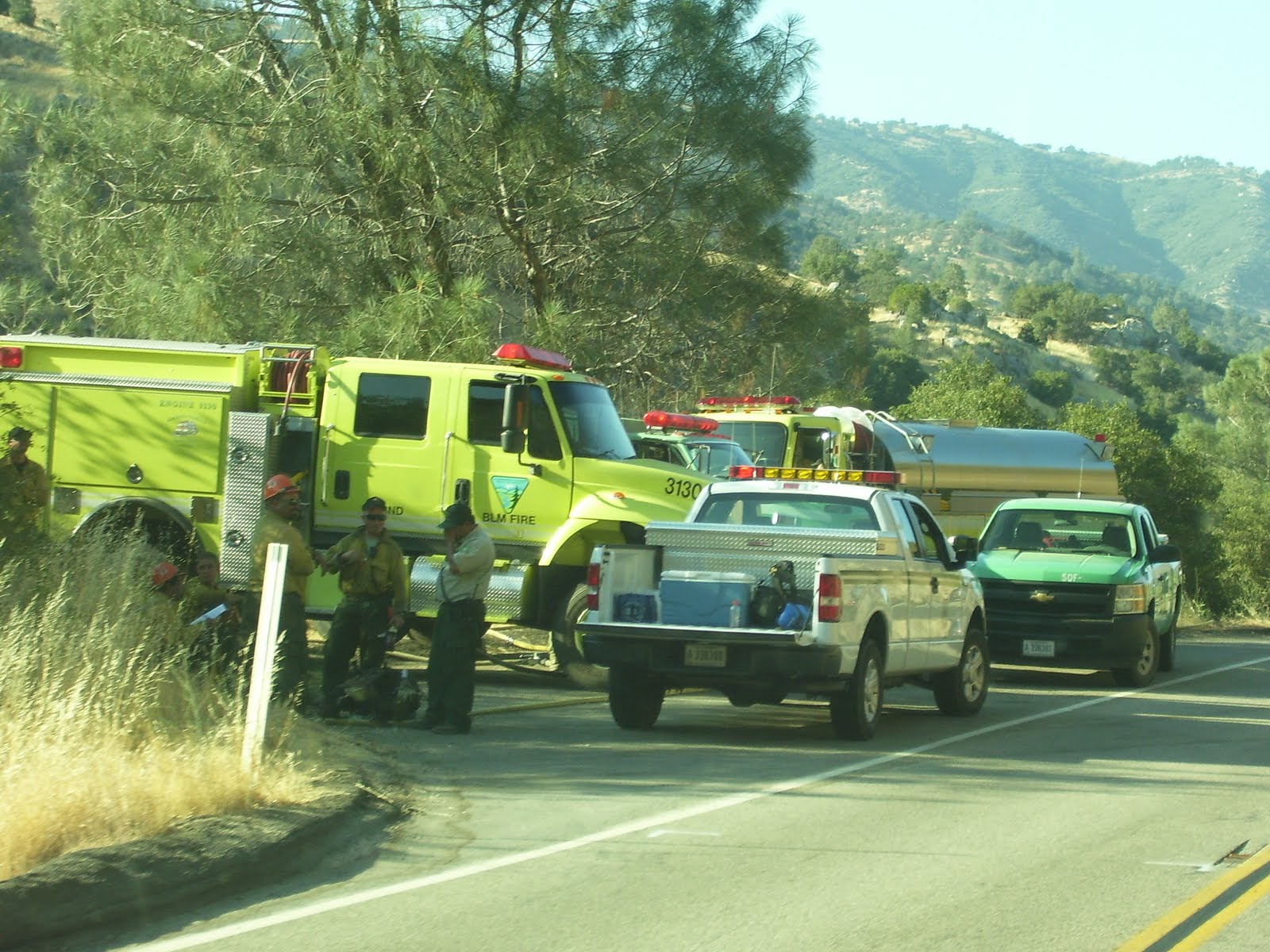
Day 28, Tuesday, July 13, 2010
We only have 333 miles to get home. As we drive, I have noticed over the last few days that the ground has turned from brown to green and there are things sticking up out of the ground that block our view; I think we called them trees. We haven’t seen any for a couple of weeks so I‘m not really sure. We have stopped at an antique shop just south of Cameron, Mo where Floyce has been looking around for quite some time now. I probably should be worried. As we pulled into the parking lot, I saw a girl that I thought was Jeanne Taylor. I let Floyce out, went down to the corner and gassed up then came back, went in and talked to her and sure enough it was Jeanne. Had a comment to my blog last night from Tracy and a call this morning from Denise and I talked to Hannah. Floyce & I have had a wonderful time but we agreed we are ready to be home. On the way home, We stopped for “Mexican” lunch at Brookfield and it was very good. Are stopped now at Monroe City to see Floyce’s mom. We arrived in Palmyra at about 3:35 and stopped at C& R to get a few things to munch on during the all-star game before we go home. It is 3:50 and we are home. We had a wonderful time and lived a dream for the past 28 days. God made a magnificent world for us to live I and Floyce & I have appreciated the opportunity to see our part of it. Thanks to everyone who read our blog and shared comments; thanks to Denise Clifton for watching after our home while we were away and thank you God.

Monday, July 12, 2010

Day 27, Monday, July 12, 2010

Woke up and started driving again about 6:00 AM. Drove to Oklahoma City and stopped for breakfast at Ingrid’s Kitchen (another “diners, drive-ins & dives”) for breakfast. It was very good. While there, we met Wendy Williams and had a really nice chat with her. She told Floyce the location of a couple of antique shops and that’s where Floyce is while I write this. I look across the street and see gas for $2.53 per gallon and decide to fill up while I can get it that cheap. I only have 570 miles to go and I can make it on 1 more “fill-up”.


We go on a little farther and take I35 northeast toward Wichita where we stop at an oasis in the median of the Kansas Turnpike for a burger and a shake. Directly across the road,we saw this field of sunflowers. As we continued on we ran into a hard rain and drove in it for about 10 or 15 miles. Because we wanted to watch the all-star game, we stopped at about 4:30 in Emporia Ks, found the S & S Café for dinner, checked into the Fairfield and called it a day. Right across the street is a Staples store and Floyce had suggested we buy one of the digital photo frames, so we stopped by and did that before checking in for the night.
Day 26, July 11, 2010
Got up this morning and hunted up a church (Central United Methodist on University Blvd.). After church, we went to The St Clair Winery for lunch. Floyce bought a wine glass for a souvenir. Then we went to “Old Town” where Floyce did a little shopping while I caught a nap. Later in the afternoon, we drove up the “Turquoise Trail” (highway 14) to Santa Fe. It was a pretty drive but not a spectacular as some we have been on in the last few weeks. While in Santa Fe, we ate supper at “The Tune-up Café. This is another of the “Diners, Drive-ins and Dives”. It was kinda ho-hum. We stopped to get ice and gas and I asked Floyce if there was anything else she wanted to see and she said “no”. She asked me if I wanted to program the GPS for home and I said “I already have”. It showed 1109 miles to home. Off I went and we drove until about 10:00 and I got sleepy so I pulled off for a nap. About 12:00 I woke up and started driving again. Somewhere In the night as were passing Vega, TX, we noticed a large number of flashing red lights way in the distance and the unusual thing was that they all flashed together. I just couldn’t resist pulling off at a gas station to ask what they were and found that it was a large wind farm and the lights were on all of the windmills. Got sleepy again about 3:30 and stopped again for a nap.

Saturday, July 10, 2010

Day 25, Saturday July 10, 2010


Jim Cissna had told us that we should take the drive from Flagstaff to Sedona so that’s where we plan to go this morning. We had also been told to go on down to Jerome and check out the shops as it was really neat. Jerome is an old mining town(copper, I think). On the way, just outside of Cottonwood, we saw a man along the side of the road selling elk jerky and buffalo jerky. Floyce stopped and got some for Rodney. Driving down highway 89A from Flagstaff to Sedona was spectacular. The tall red rock cliffs are nearly impossible to describe. How many times can I use the word, beautiful.


As we were going through Cottonwood, we spotted some kids at a corner advertising a car wash, so we decided to have the van washed to help the kids. We asked what the fundraiser was for and found that they were an all-star little league ball team raising money to go to the state playoffs, July 19 in Yuma. I asked if I could follow them on the internet and they said to look for Verde Valley Little League (vvll.com). I don’t know if others see things that God does like I am about to describe and I haven’t either in the past, but this is the way I have learned to see God’s hand working. God knew about the carwash and the need for cars to wash. He also knew we would be driving by. Therefore, he placed a desire in our minds to go where there were no paved roads to get our van dirty so we could help the kids.


When we got to Jerome we found it was built on the side of a hill; a really, really steep hill. I am blogging this as I wait and Floyce shops. There is an old hospital in Jerome that has been converted into a restaurant called The Asylum. I didn’t go there because I thought that they might not let us leave.


We stopped for gas in Winslow, AZ and took I40 east toward Albuquerque, NM. I am at a loss for words to describe the terrain we see. We are at an elevation of about 5000’ and still in the desert. The land is so flat and there are no trees so you can see for miles and miles. In the distance are plateaus; sort of like mountains with flat tops. The colors are so pretty. I only wish that everyone ,especially those we love and hold so dear, could see the country through our eyes.


As we leave Arizona and enter New Mexico, it begins to rain and we drove in the rain for the next hundred miles or so. Thinking about God working, I told Floyce that perhaps there is another ball team that He needs us to help. Continuing along on I40, we finally stopped at a place about 90 miles west of Albuquerque, called Bluewater Outpost and I bought a leather hat. I’m hoping it makes me look like Indiana Jones. We arrived at Albuquerque at about 9:30. Of course it was dark and since the city is down in a valley and we were up a long hill west of town we could see the whole city lit up; and it is a large city. Once again, it was beautiful.
Day 24, Friday, July 9,2010


There really weren’t very many shows appearing in Las Vegas so we decided not to stay another day. Got up this morning and drove back out to Boulder City and on over to the Grand Canyon. Before we got to where we thought we were going, we saw a sign advertising the sky bridge. I wasn’t sure I would go out on it but I thought it might be a good place to look over the edge so off we went. After turning off of highway 25 we hadn’t gone but a few miles until the pavement ended and we were driving on gravel through the desert. The gravel continued for 14 miles before turning back to pavement about 5 miles from the sky bridge. When we got there, we bought tickets and boarded the bus that takes you to the sky bridge. We had already bought shirts that say “I did it”. I hoped we wouldn’t need to take them back when we returned to the terminal. As we approached the sky bridge I was apprehensive but when I actually stepped out on the glass floor it wasn’t as bad as I thought it would be. It is 4000’ from the glass floor to the canyon bottom. The canyon is truly a wonder because of its size. The colors of the rocks were beautiful. Because of the magnitude of the canyon, it is difficult to grasp the concept that it was created by the erosion of the Colorado River that flows through the bottom. When we got there, many people were standing on the edge of the canyon where the drop is thousands of feet and there is no railing, having their picture taken with the canyon as a background. It looked pretty risky to me just to get a photograph.


After we drove back through the 14 miles of gravel, we headed toward Kingman, AZ. The desert changed from being heavily covered with cactus to bare; just sand.


As we entered Kingman, we were upon a hill and could see nearly the whole town. The neat thing, since there are no trees, is that you can see for miles. We stopped to get gas and ice for the cooler. It was about 6:30 so we decided to go on to Flagstaff which about 145 miles away. As we left Kingman and started the drive to Flagstaff, we went from desert surroundings to foothills. The elevation changes from about 3300’ to 7000’. The scenery was beautiful as we could see the cloud-crowned peaks in the distance.


As we drive along, I notice that some of the mountains are made of layers of rock while others look like huge piles of boulders. I wonder what in the history of the earth made two such different types of rock formation..


On the way we were treated to a beautiful double rainbow. Thank you God.


We arrived in Flagstaff at about 8:30. Time to find a place to rest and get ready for tomorrow.

Thursday, July 8, 2010

Day 23, July 8, 2010


What a difference a day makes. Didn’t I just use that line a few days ago? Yesterday we were in the mountains(up to about 8000 feet) and today we are in The Majove Desert. It must be about 85 this morning and in talking with the desk clerk at the motel it is supposed to get to 105 today. As a result we think it is wise to skip Death Valley. We start out from Ridgecrest, CA and are driving toward Las Vegas. We have driven for miles seeing nothing but desert covered with sagebrush. Some places are rocky, some sandy and some covered with sagebrush and cactus.


Just north of highway 58 we pass a solar farm where there are acres and acres of solar collectors. I’m a little puzzled though, because I can’t see any power lines over which the collected energy can be transmitted.


Going on, we turn north on I15 and after a little while we see a sign for “Penny’s Diner” and turn in for a cup of coffee. Our waitress’ name was Bette Jeanne and she was an absolute hoot. She took great delight in calling me Bubby. She gave me a web site to use and I wrote a review right there from our table.
Drove on north and the terrain was very flat along the roadway with foothills in the distance. At one point, as we started down a long descent, I could see cars way in the distance. The road looked like the edges merged and became a thin line. I checked my odometer and found I had driven about 5 miles when I got to where I saw the cars a few minutes earlier. The road is very straight sometimes going for miles without a curve. Somewhere about 80-100 miles south of Las Vegas we started up a long hill and saw a sign advising that we turn off our air conditioner to prevent overheating the engine. Reluctantly, I did and it was a good thing. The van did get a little hotter but not enough to stop. The hill we climbed was about 16 miles long and pretty much straight with a change in elevation of about 3500 feet.


We got to Las Vegas at about 2:00 and drove on over to Boulder City and across Hoover Dam. As you cross the dam you enter into Arizona. There is a plaque on the dam showing the state boundary. We took a few pictures then came back to Boulder City to buy a few souvenirs.


I had noticed a sign along the highway down by the dam cautioning about big horn sheep that might be crossing the highway. I mentioned this to the guy at the gift shop and he told me where I could find a bunch that usually comes to a park to graze every afternoon. Since it was just outside of town we drove out and sure enough there they were. Floyce took lots of pictures.


It’s getting late so we find a Fairfield motel and book our room. Since it was too late to take in a show, we found a good place to eat. After dinner we drove down Las Vegas Boulevard (The Strip) and saw all of the lights and they were beautiful. People were everywhere lining both sides of the streets sort of like a giant street fair.


Back to the motel, blog and to bed.

Wednesday, July 7, 2010

Day 22, July 7, 2010


We headed out this morning for the Sequoia National Forest. I learned the difference between sequoias and redwoods; redwoods grow to over 300 feet tall and up to 22 feet in diameter, sequoias grow to 280 feet tall and 40 feet in diameter. The redwoods grow near the seashore in northern California while sequoias grow at an elevation of about 6000 feet or greater in the Sierra Nevada mountain range in southeastern California.


Because the sequoias were up on the mountain, it took a long time to drive up there. In addition to that, they were doing road construction and only let cars pass "on-the-hour" so when we got to there, we had about a 35 minute wait.


Near the top is the General Sherman Tree; the largest tree in the world. It is 103 feet in circumference and 275 feet tall. To see it you must hike about .4 miles from the parking lot. The catch is that you descend 212 feet as you go down the trail to the tree. Even that’s not too bad until you start back up the hill. There are 6 groups of benches on which to rest and I tried all but one.


Since no roads go over the Sierra Nevada mountains, we had to backtrack and go around. We stopped at The Hummingbird Restaurant at Dunlap, Ca. A bite to eat then on to Death Valley. A lady at the restaurant offered to give us driving directions around the mountains which saved about an hour of driving time. After we left Bakersfield and headed east it wasn’t long until we were in the mountains again. As we neared the top we encountered a fire crew who had just extinguished a fire along the roadway. The for the last couple of days, we have noticed the grass is almost nonexistent. What little there is, is brown and very dry. In the mountains again, the views were very spectacular.


Didn’t find anyplace to stop that we liked so we drove all the way to Ridgecrest, CA, just south of the China Lake Naval installation and are staying at the Best Western. Sydney, while I blog, Floyce is watching "Pickers' the show that you and her like.